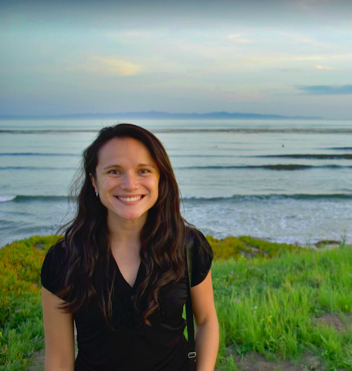
 Marcela Suarez joined the department as an assistant teaching professor of spatial data science in the summer of 2021.
She will teach GEOG 586 Geographic Information Analysis, GEOG 486 Cartography and Visualization, and GEOG 583 Geospatial System Analysis and Design in the online geospatial education program during the 2021–22 academic year.
Suarez earned her doctorate in geography in 2020 from the University of California, Santa Barbara. While at UC Santa Barbara, she developed and taught in-person, hybrid, and fully online courses.
“As an instructor I had to think about new ways and activities to achieve our learning goals,” Suarez said. “For example, online class interaction and participation tend to decrease compared to that of a regular in-person lecture. For in-person courses, I used to include activities such as peer discussion when walking them through a lab exercise, whereas for the online version, I have relied more on the tools such as discussion forums provided by the learning platform.”
Suarez also made changes to the lab requirements for online classes.
“Unlike completing an assignment in a computer lab where we know which software, versions, and libraries are installed, online students need to complete the work using their own computers,” Suarez said.
“I added more instructions to guide them through the process of setting up their own laptops or using cloud-based versions of the software.”
Suarez said her teaching approach has been informed by her research.
“Since there are new technologies and novel ways to acquire, contribute, and share new data, we now need to think about new methods and tools to analyze these new datasets, as well as on how to update and leverage the already existing methods in geography,” she said. “That is very important to consider when we are thinking about teaching and educating the new generations of GIS professionals.”
Her interest in using spatial data to understand natural hazards, disasters, risk management, and emergency response came from her experiences growing up in Colombia, Suarez said.
“I grew up witnessing how floods and landslides affected the same regions over and over,” she said. “So when I learned in college about the power of geographic information, these were the core questions that I really wanted to answer. For example, I wanted to understand why these events happen where they do, their patterns of recurrence, and why some communities are more vulnerable than others.”
By the time Suarez was considering graduate school, she already felt geography was the natural home discipline for her.
“It is a broad and fascinating discipline that is pretty much related to everything around us, which of course includes natural hazards and disasters,” she said.
Her dissertation, “Tweets as Information for Emergency Response During Weather-related Disaster Events: Methods, Constraints, and a Geographical Perspective,” pointed out that despite the potential of crowdsourced Twitter data to contribute timely on-the-ground information, tweets are neither used by emergency responders in a systematic fashion, nor integrated into their tools for decision making.
“There are two main things to consider when working with Twitter data. First, it is uncertain, since people can tweet anytime, anywhere, and about anything in an unstructured text and second, there is a lack of credibility associated with it,” Suarez said.
In order to solve that problem, Suarez’s research has focused on understanding how spatiotemporal information embedded in tweets can be leveraged to identify and summarize relevant, reliable, and actionable information for emergency response, and exploring how geographic information related to hazards and validated citizen reports can be used for assessing tweets reliability.
She has found three results that have practical implications for how tweets sent during weather-related disasters can be used for emergency response.
“The first and probably most obvious one is that Twitter data needs extensive cleaning and preprocessing in order to offer meaningful insights for public policy,” Suarez said. “For this, natural language processing tools and data mining techniques play a key role. The second finding is that official geographic data and hazard information play an important role in defining the spatial and temporal filters for data classification. Finally, regarding content analysis, it is not the bigger the dataset, the better. Rather, it is the better filtered the dataset, the more meaningful the insights.”
In future research Suarez said she would like to explore data reliability, representation of data quality, and representation of reliability in maps as well as how geographic information can help identify misinformation and rumors spread via social media platforms.
She said she would also like to develop a course on the foundations of spatial data science.
“I want this course to offer students with little or no prior coding experience or GIS knowledge an overview of the main methods and tools available to the GIS and spatial data science community,” she said.
Suarez said she most enjoys teaching courses that students enjoy taking.
“Usually those include a final project,” she said. “In those courses students not only grow confident about applying concepts learned in lectures but also get more actively involved in lab sections and discussions. I have also noticed that students appreciate having a final result to share, be it a portfolio of maps, a web-based geovisualization, or the outcome of an analysis.”

